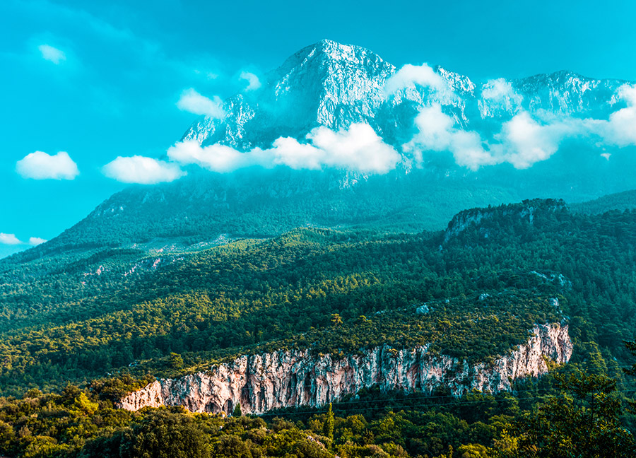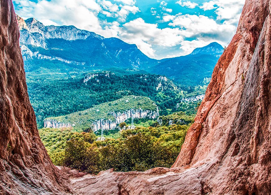
Drawing the borderline between Konya, Karaman and Antalya provinces in a series, the Geyik Mountains are where the Western Taurus Mountains connect with the Central Taurus Mountains, starting from the northernmost point of the Dedegöl Mountains in the northeast of Antalya and extending to the Taşeli Plateau.
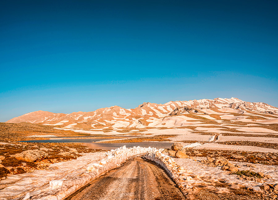
The highest peak of the Geyik Mountains is the 2,877-meter-high Geyik Mountain Hill, located in the northeast of Antalya's Gündoğmuş district. Another high peak is Sarıtaş Hill, which is 2339 meters high, in the east-northeast direction of Antalya's Gazipaşa district. The north-facing slopes of the mountains are covered with snow even in summer due to their location. There are many caves and deep valleys in the mountains, which have a karstic structure to the general form of the Taurus Mountains. The hills have particular importance due to the Bauxite mine they contain.
The western parts of the Geyik Mountains, which look like a high camel hump, are home to one of the most humid habitats in the Mediterranean Region. The mountains, which are extremely important due to their plant diversity, host Taurus Fir, juniper species, kermes oak, cedar, black pine and maquis communities. The mountains covered with rich vegetation are also the habitat of many animal species.
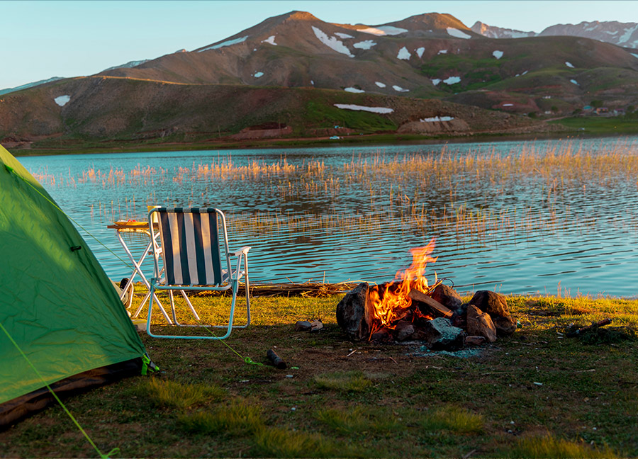
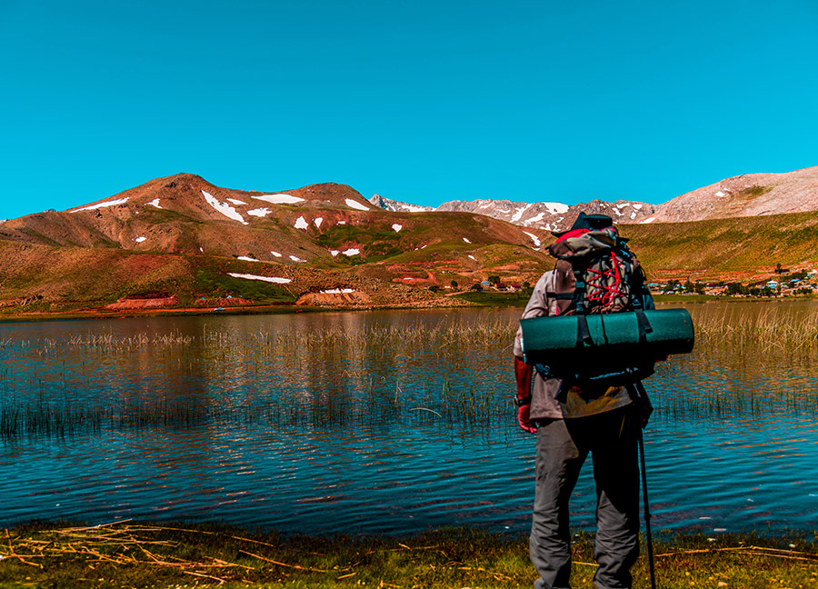
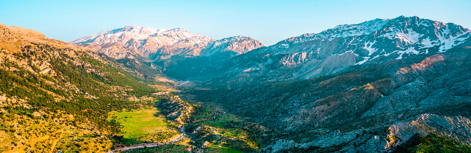
Çimi Plateau, which is a part of the Akseki District and includes the Geyik Mountains, has an essential share in the flower bulb trade of our country. The villagers of Çimi have been collecting snowdrops from nature for many years. In addition, on the Taşeli Plateau at the foot of the Geyik Mountains, there is Eğrigöl, which is called the "Alps of Antalya", at an altitude of 2,350 meters. Surrounded by flowers and endemic plants, this lake, as one of the places worth seeing with its untouched nature and beauty, welcomes mountaineers, campers, photography enthusiasts and nature lovers.